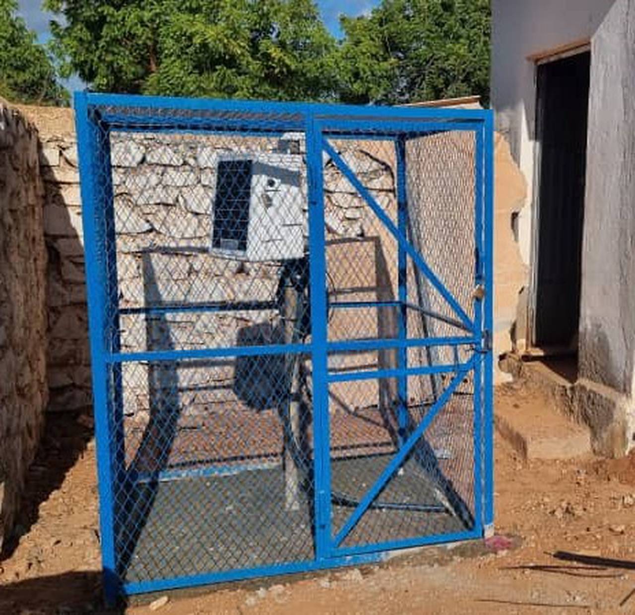
Ground Water Station: GW46 - Garbahaarey

| Station Name: | Garbahaarey |
|---|---|
| Town/ Village Name: | Garbahaarey |
| District: | Garbahareey |
| Region: | Gedo |
| GPS Coordinates: | 0.334186, 42.216391 |
| Installation Agency: | SWALIM |
| Installation Date: | Aug. 29, 2024 |
| Data Frequency: | Hourly |
| Status: |

|
|---|---|
| First Data Update: | Sept. 5, 2024, 4 a.m. |
| Last Data Update: | Oct. 13, 2025, midnight |
×
×
×
×
×
×
×
×
×
×
| Borehole Established: | Jan. 1, 1985 |
|---|---|
| Main Water Usage: | Rural and Village |
| Power Source: | Hybrid – Grid and Solar - 108 kw |
| Type of Borehole: | Observation |
| Borehole Casing: | GI 8" |
|---|---|
| Riser Pipe: | GI 2" |
| Borehole Depth (m): | 104 |
| Pump Depth (m): | 43 |
| Diver Depth (m): | 42 |

